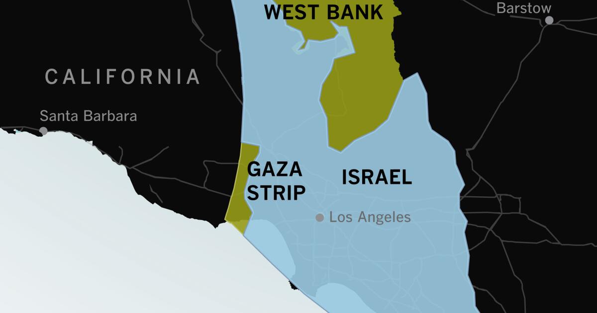
If you haven’t visited Israel or the Gaza Strip or spent much time thinking about their geography, it can be hard to understand how compact they are and how violence in one spot can feel immediate and personal throughout the area.
Maps of the region often look like this: Israel fills the frame. To people who are used to looking at maps of the United States, there seems to be plenty of space between major cities.


Somewhat related-
I guess that depends on how you interpret creating the earth.
Weirdly, "the Earth" seems to have been entirely within that circle until more recent times.