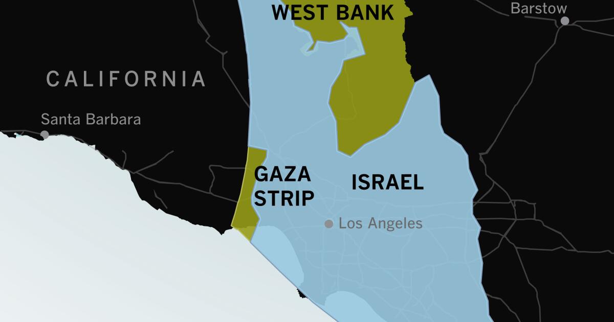
If you haven’t visited Israel or the Gaza Strip or spent much time thinking about their geography, it can be hard to understand how compact they are and how violence in one spot can feel immediate and personal throughout the area.
Maps of the region often look like this: Israel fills the frame. To people who are used to looking at maps of the United States, there seems to be plenty of space between major cities.


thetruesize.com
(e: if anyone else is having an issue getting rid of the "how it works" pop up, once you type in and search for a country it refreshes and the x becomes clickable)
Putting it over Florida illustrates it much better, I think
Or the northeast corridor.
The length of Gaza is less than the distance from DC to Baltimore.
Funny easter egg, if you write your mom it takes up the whole map.